Laboratory of Geoinformatics and Geomagnetic Studies
Goals
The laboratory is created to develop new approaches for processing big volumes of complex geophysical information using fuzzy logic and fuzzy mathematics methods. Development of new mathematical approaches and adaptation of existing methods of pattern recognition for studying the Earth’s magnetic field and solving other geophysical problems are provided. One of the priority activities deals with development of methods for recognition of disturbances with defined morphology in geomagnetic data time series. Activities of the laboratory are implemented in the following directions:
- Pattern recognition:
- Development of theoretical and algorithmic basis of recognition;
- Creation of authoring software products;
- Recognition tasks on magnetic data;
- Other geophysical and geological recognition tasks.
- Development of analytical multidisciplinary GIS:
- Development of multidisciplinary geospatial databases on geoscience;
- Creation of thematic GIS services on the Web;
- Adaptation of recognition algorithms, developed in GC RAS, and their integration into a unified geographic information environment with databases of geospatial data.
- Deployment of magnetic observations and creation of the INTERMAGNET Russian segment:
- Establishment of five new INTERMAGNET observatories in Russia as joint observatories of GC RAS and regional institutes;
- Carrying out mobile magnetic observations.
- Creation of national geomagnetic data node at GC RAS servicing Russian INTERMAGNET observatories:
- Transmission of magnetograms from functioning Russian INTERMAGNET observatories to GC RAS in real-time mode;
- Publication of pattern recognition algorithmic software on the Web;
- Maintenance of storage of Russian observatory magnetograms in databases.
Relevance of research
The present stage of geophysics development is characterized by transition from general models largely based on the use of general physical laws, to models describing specific geophysical objects and structures. Objects of geophysical investigation are likely to have complex internal structure and vary with time. For such objects criterion of recurrence of experiment conditions might not be satisfied. This results in a certain common character of methodological approaches between geology, geophysics and areas of humanities with considerable fuzziness of applied concepts and characteristics and a great role of hardly formalized opinion of individual experts.
Fuzzy information is usually processed by experts. However, due to a huge volume of initial data, such solution could be practically unrealizable. Thus there is a problem of automatic analysis of huge volume of factual information with a lack of clearly and definitely formulated criteria and features of studied objects. To solve these problems methods of pattern recognition including expert systems and algorithms of data processing based on fuzzy logic are used. Besides, methods of clustering and morphological analysis are developed and applied for these purposes.
Comparison between results obtained with classical approaches (e.g., statistical methods) and fuzzy logic methods developed by GC RAS allows to assume that the latter turn to be more efficient in the case of a certain lack of factual information and/or in the case of processing more complex signals. In these cases classical methods give less stable and therefore robust results. On the contrary, classical statistical methods prove to be more efficient when there is a sufficient data volume for statistical processing (due to greater simplicity of realization and greater certainty of obtained results).
Intensive accumulation of spatial data requires effective and modern information technology analysis. New fundamental scientific generalizations demand the use of modern GIS, providing access to data on various subjects and allowing you to perform both traditional operations to work with arrays of spatial data and sophisticated analysis. Such GIS is designed to organize collection and accumulation of thematic information and providing on the basis of its analysis and processing reliable natural, socio-economic, environmental, statistical and other data with reference to specific geographical areas.
Major achievements of the laboratory
A new approach to dealing with discrete data titled Discrete Mathematical Analysis (DMA) was developed. It is based on modeling discrete analogues of fundamental mathematical concepts using fuzzy logic. DMA represents a series of algorithms for data analysis and processing: clustering, tracing, smoothing and prediction of time series, their morphological analysis, trend detection, etc.
DMA includes two groups of data analysis applications. The first group deals with recognition of higher density subsets in finite metric spaces. This includes RODIN clustering algorithm, CRYSTAL and MONOLITH algorithms for detection of higher density areas in multidimensional geophysical data arrays. The second group deals with recognition of disturbances of different nature in time series. DRAS (Difference Recognition Algorithm for Signals), FLARS (Fuzzy Logic Algorithm for Recognition of Signals) and FCARS (Fuzzy Comparison Algorithm for Recognition of Signals) algorithms created in the framework of DMA represent modeling of a data interpreter’s logic for its further automated application to large data array processing. Basing on DMA and fuzzy logic a series of specific algorithms for automated recognition of anomalies on magnetograms is being developed.
The laboratory develops a multidisciplinary analytical GIS, which includes digital thematic maps of the territory of Russia and neighboring countries, as well as world maps. The system’s spatial database is continuously supplemented by content thematic layers produced by numerous Russian and foreign scientific institutions and agencies. Access to spatial data in the form of thematic digital maps is provided through the use of web mapping services. All digital spatial data layers and associated attribute information is stored centrally on the GIS server to access the multiplayer mode. Access to the description of GIS, metadata and published Web services is provided through a single Web resource: gis.gcras.ru.
The laboratory is in charge of development of the Russian INTERMAGNET segment.
In collaboration with the Laboratory of Geophysical Data Storage node of the Russian INTERMAGNET segment is being created on the basis of these two laboratories. A particular feature of this node is the automated system for recognition of artificial disturbances on incoming magnetograms. INTERMAGNET network is the basis for geomagnetic field monitoring so requirements for reliability of collected data are very high. Therefore, an important task is an objective and formalized recognition and further elimination of possible technogenic anomalies in data records. Algorithms SP and SPs for spike detection and JM algorithm for recognition of baseline jumps are designed for processing data recorded with 1 minute, 1 second and less sampling rate.
The algorithmic system created with the use of fuzzy mathematics for geomagnetic records enables producing filtered, despiked magnetograms from preliminary data almost without human intervention.
Web resources
- Russian-Ukrainian Geomagnetic Data Center;
- Intellectual GIS "Data of Earth Sciences on the territory of Russia";
- Analytical GIS for integrated study, forecasting and evaluation of Russia's strategic raw materials;
- Interactive GIS for multi-criterial assessment of seismic hazards;
- Space weather parameters;
- Virtual Magnetograms.
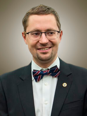 Chief, D.Sc., Corresponding member of the Russian Academy of Sciences
Anatoly Soloviev
Biography
CV full
Publications
 Leading research scientist, D.Sc.
Andrey Kostianoy
 Senior research scientist, D.Sc.
Andrey Vorobiev
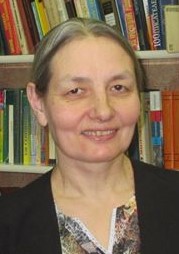 Senior research scientist, PhD
Nadezhda Yagova
 Junior research scientist
Ivan Lisenkov
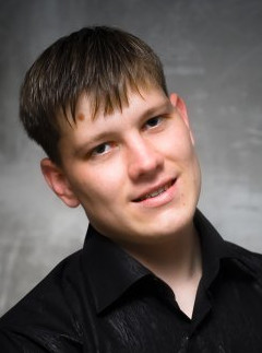 Junior research scientist
Fyodor Perederin
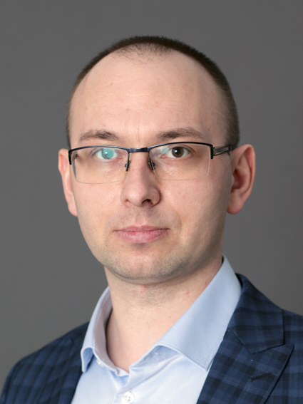 Junior research scientist
Vladimir Sergeev
 Leading engineer
Evgenia Kostianaia
 Engineer
Valery Shcherbakov


 Principal research scientist, D.Sc.
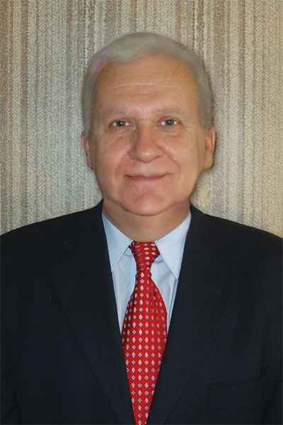 Principal research scientist, D.Sc.
 Principal research scientist, D.Sc.
 Principal research scientist, D.Sc.
 Leading research scientist, PhD
 Leading research scientist, PhD